Introduction
Global Navigation Satellite Systems (GNSS) have revolutionized numerous industries, with their application in earthworks projects being particularly impactful. Continuously Operating Reference Stations (CORS) play a critical role in this transformation by providing precise and reliable positioning data. These stations, distributed across a dense network, correct errors inherent in satellite signals, such as atmospheric disturbances or orbital inaccuracies, through real-time or post-processed calculations.
In the context of earthworks projects, where large-scale material movements require centimeter-level accuracy, GNSS CORS are an indispensable solution. They deliver highly precise geospatial information essential for operations such as.
Machine guidance: Earthmoving equipment equipped with GNSS systems, coupled with RTK (Real-Time Kinematic) or NRTK (NetworkRTK) corrections, can follow digital plans with near-perfect precision, reducing leveling or excavation errors.
Topographic monitoring: GNSS CORS allow surveyors and site technicians to verify and adjust project progress in real time against the digital terrain model (DTM).
Traceability and compliance: The collected data ensures precise documentation of earth movements, facilitating adherenceto specifications and regulatory standards.
The integration of GNSS CORS into earthworks projects aligns with the trend of digital transformation and process optimization. These technologies not only enhance the accuracy and efficiency of operations but also contribute to better environmental management by minimizing the impact of construction activities. Consequently, GNSS CORS represent a significant advancement in transforming traditional practices into a model centered on performance and sustainability.
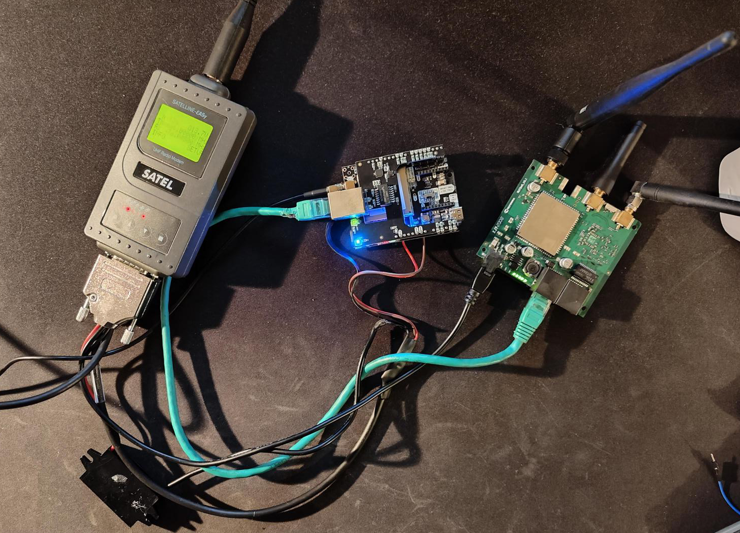
Hardware part
For our needed, we need to have GNSS board with multiple constelations (Eg. GPS, GLONASS, Galileo, BeiDou, QZSS, etc.), and multiple frequency bands (Eg. L1, L2, L5, etc.).
We have choosed, Septentrio Mosaic X5 integrated by Ardusimple, witch provide plenty COM port and easy to use web interface.
We also need to send the corrections over radio to our construction machine. So we use Satel SATELLINE-EASy or Satel SATELLINE-EASy Pro radio.
A Teltonika RUT240 is used to connect the CORS to internet and Wirguard VPN for remote managment.
A small inverter was integrated, to prevent small electricals cuts because a lot of construction site cabins are powered by a generator, and it’s not stable 220v.
All components are putted to a pelicase, to protect them from the rain and dust.